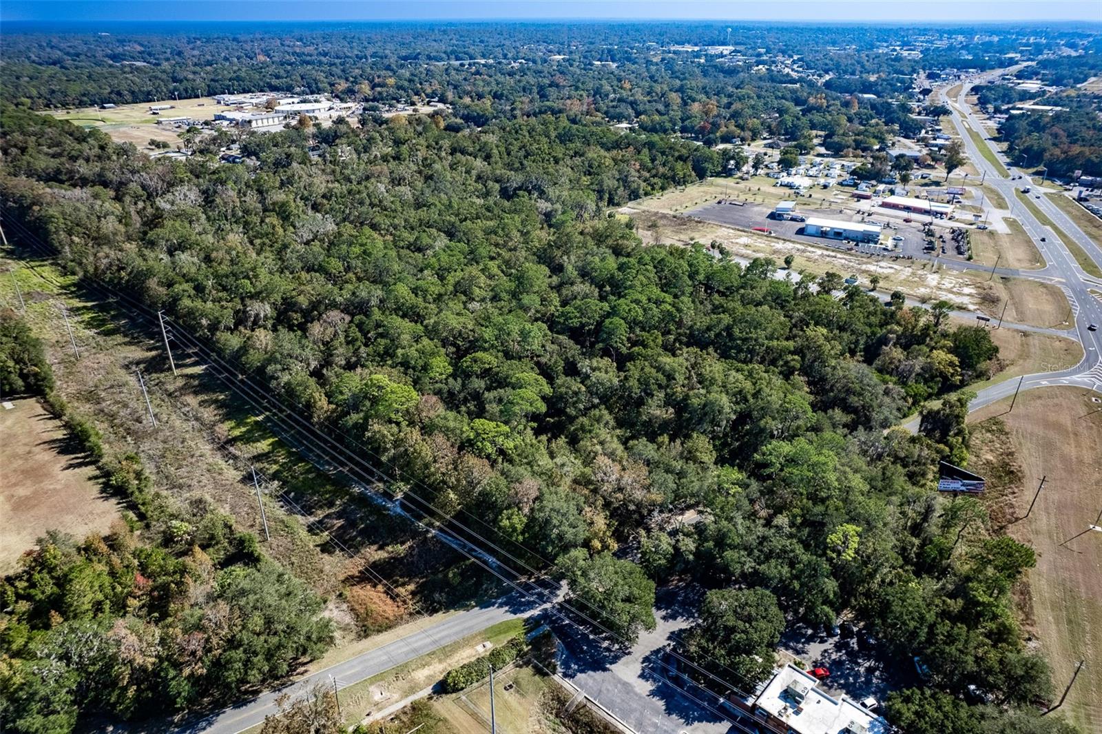
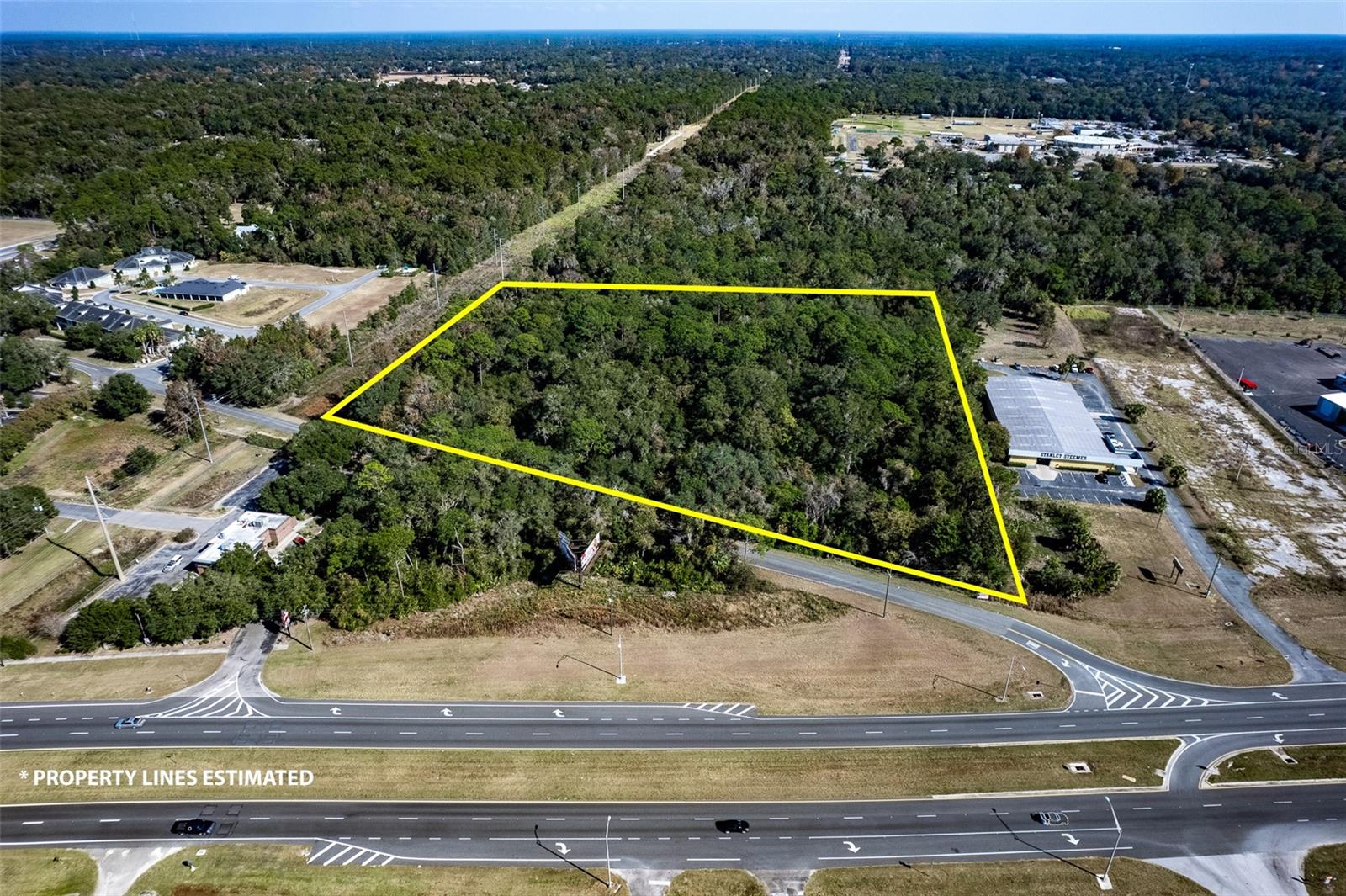
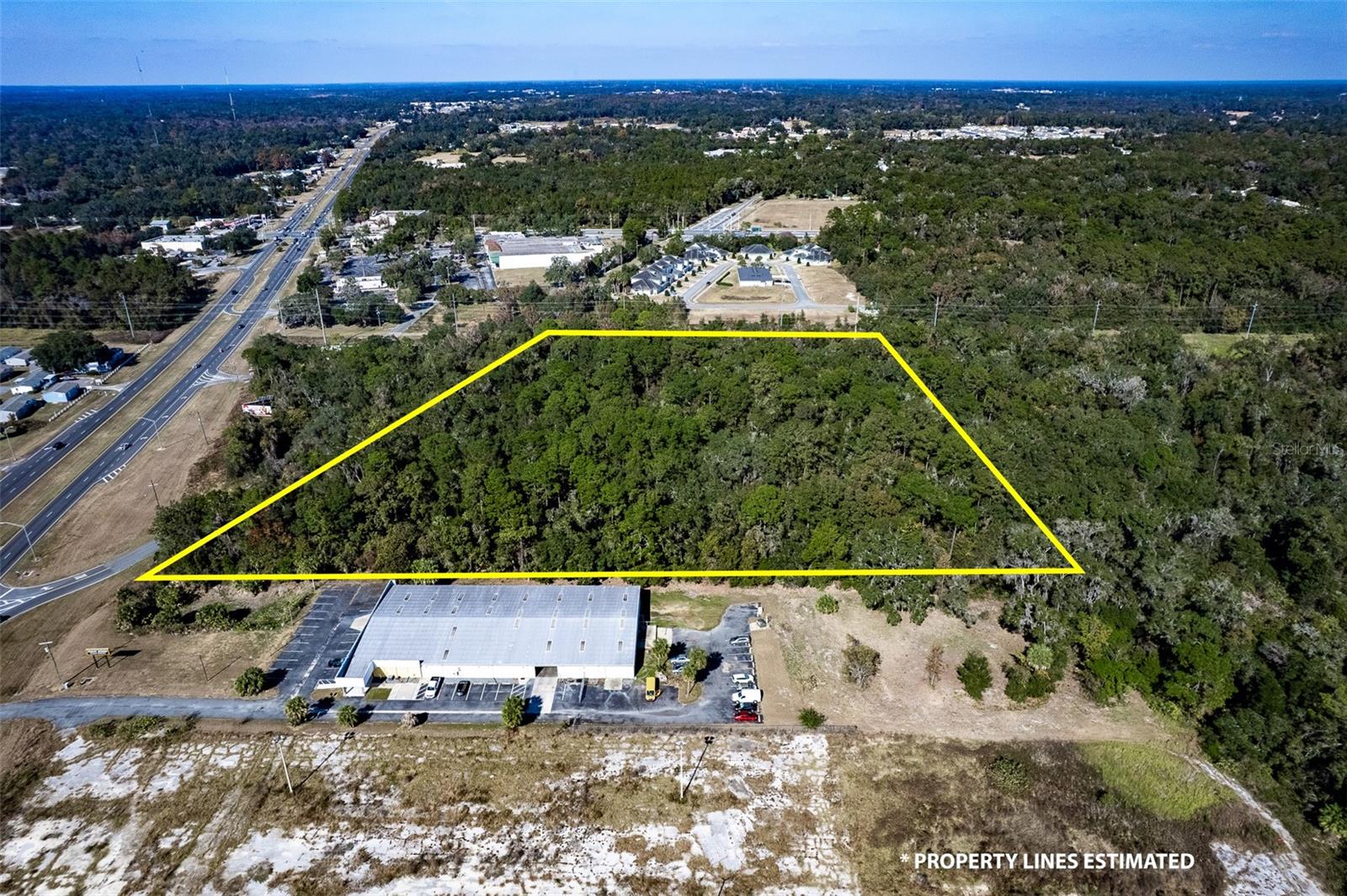
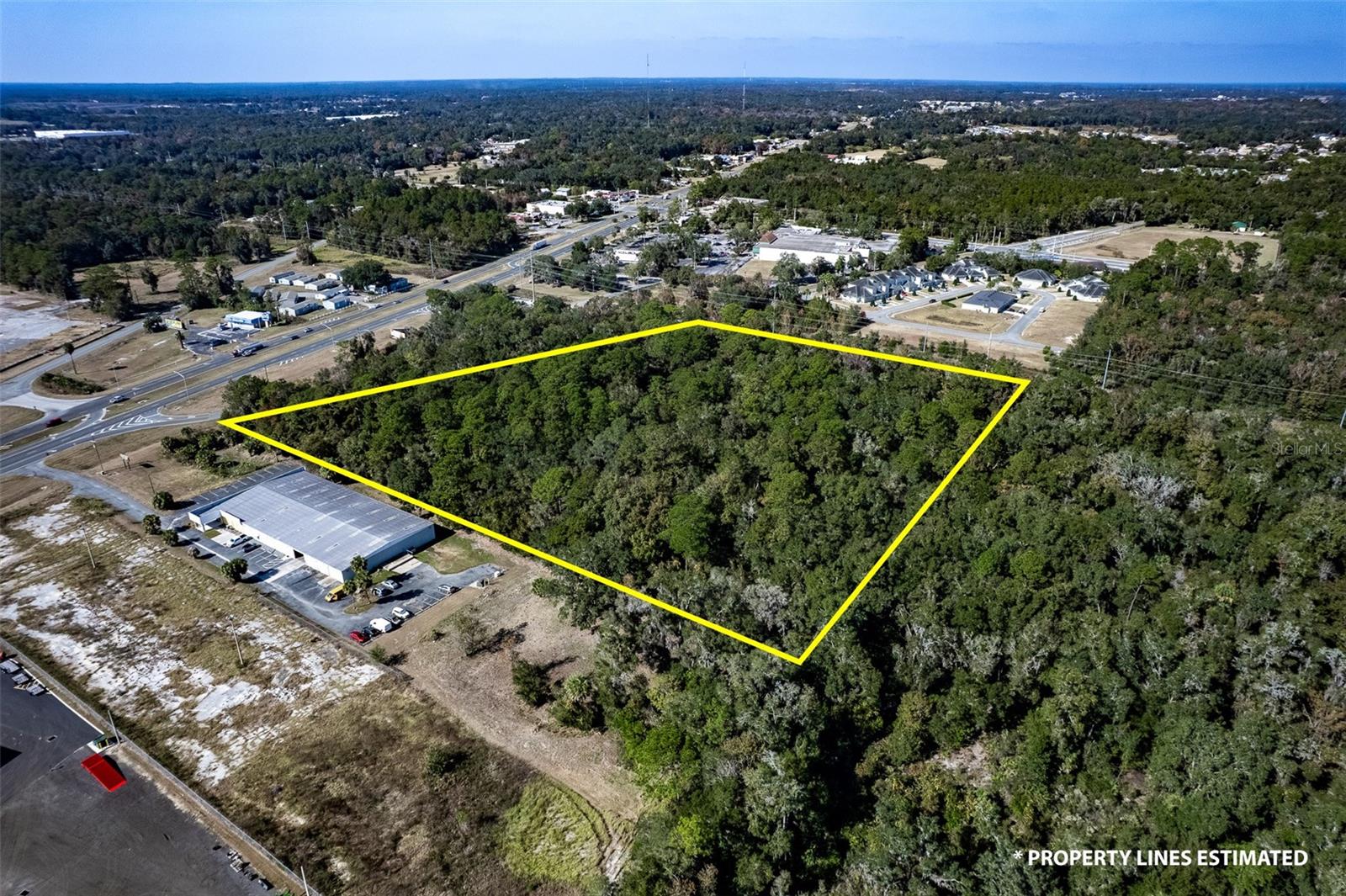
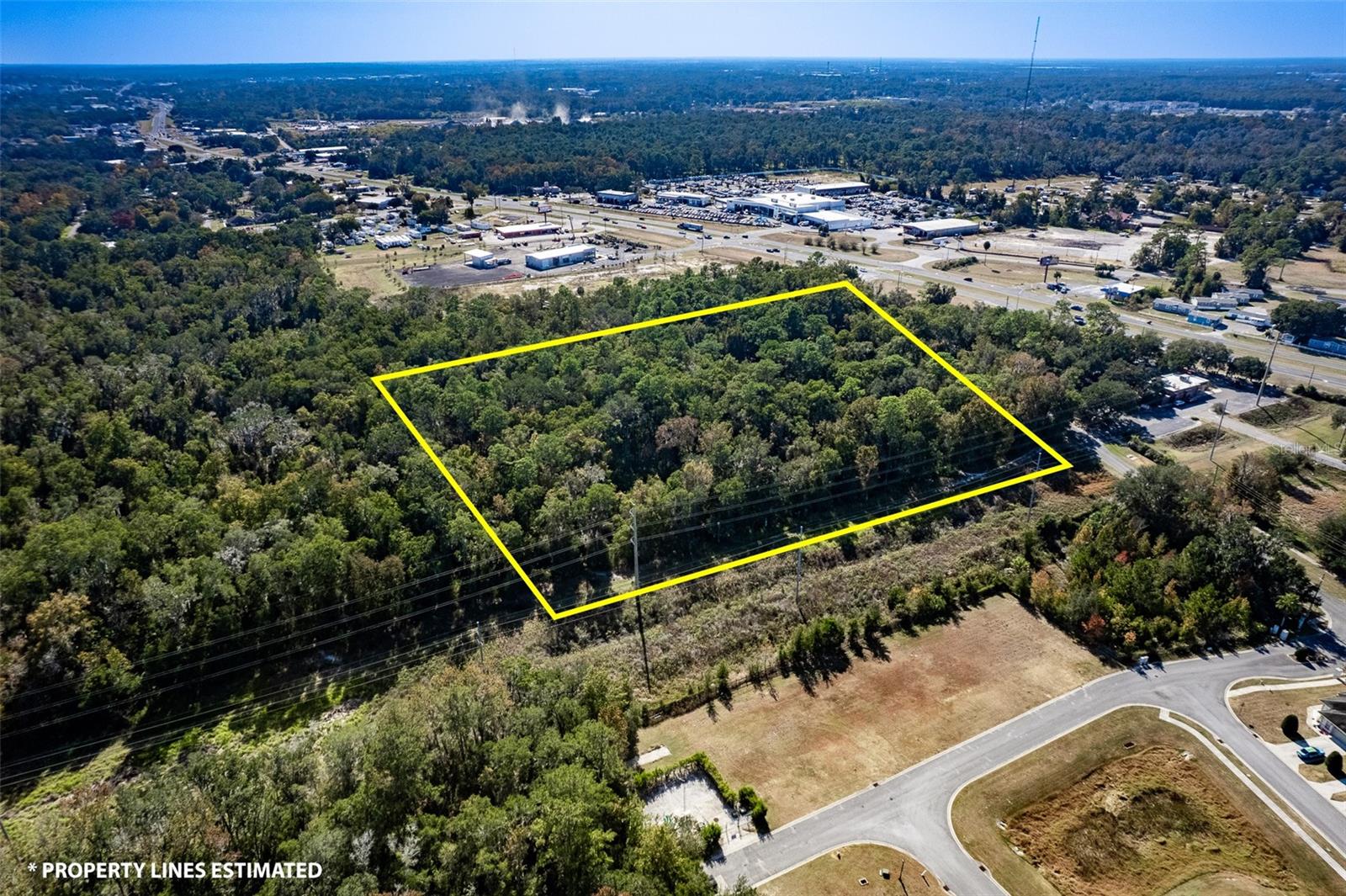
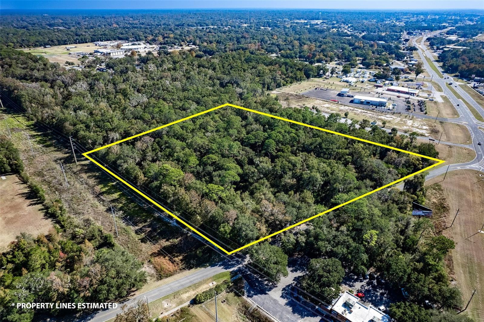
Property Photos
Hwy 441 And Anthony RdHwy 441 And Anthony Rd Listing photo id 0 for Hwy 441 And Anthony Rd Listing photo id 1 for Hwy 441 And Anthony Rd Listing photo id 2 for Hwy 441 And Anthony Rd Listing photo id 3 for Hwy 441 And Anthony Rd
  • MLS#: OM653889 ( Land )
  • Street Address: Hwy 441 And Anthony Rd
  • Viewed: 109
  • Price: $1,110,000
  • Price sqft: $0
  • Waterfront: No
  • Year Built: Not Available
  • Bldg sqft: 0
  • Days On Market: 662
  • Additional Information
  • Geolocation: 29.2194 / -82.1449
  • County: MARION
  • City: OCALA
  • Zipcode: 34475
  • Elementary School: South Ocala Elementary School
  • Middle School: Howard Middle School
  • High School: Vanguard High School
  • Provided by: BUSCH REALTY
  • Contact: Bradley Busch
  • 352-690-1909
  • mfrmls
  • DMCA Notice
  • Description
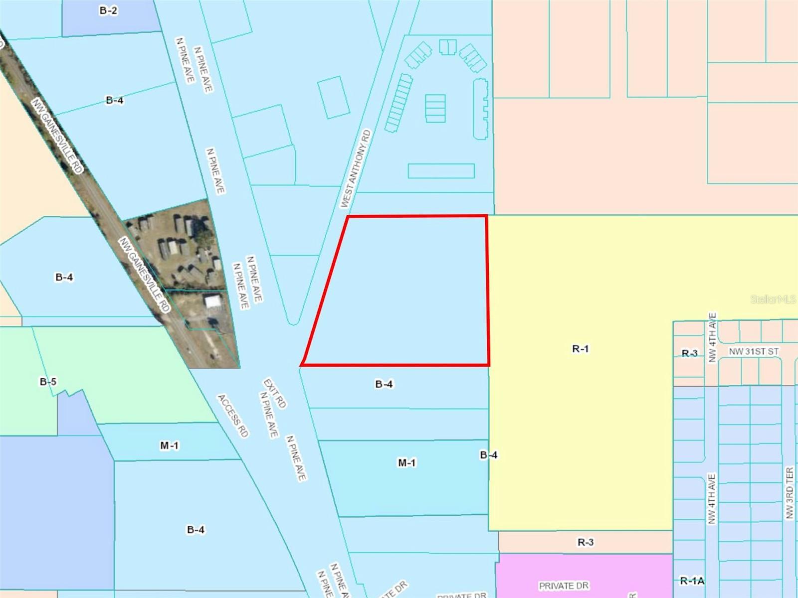
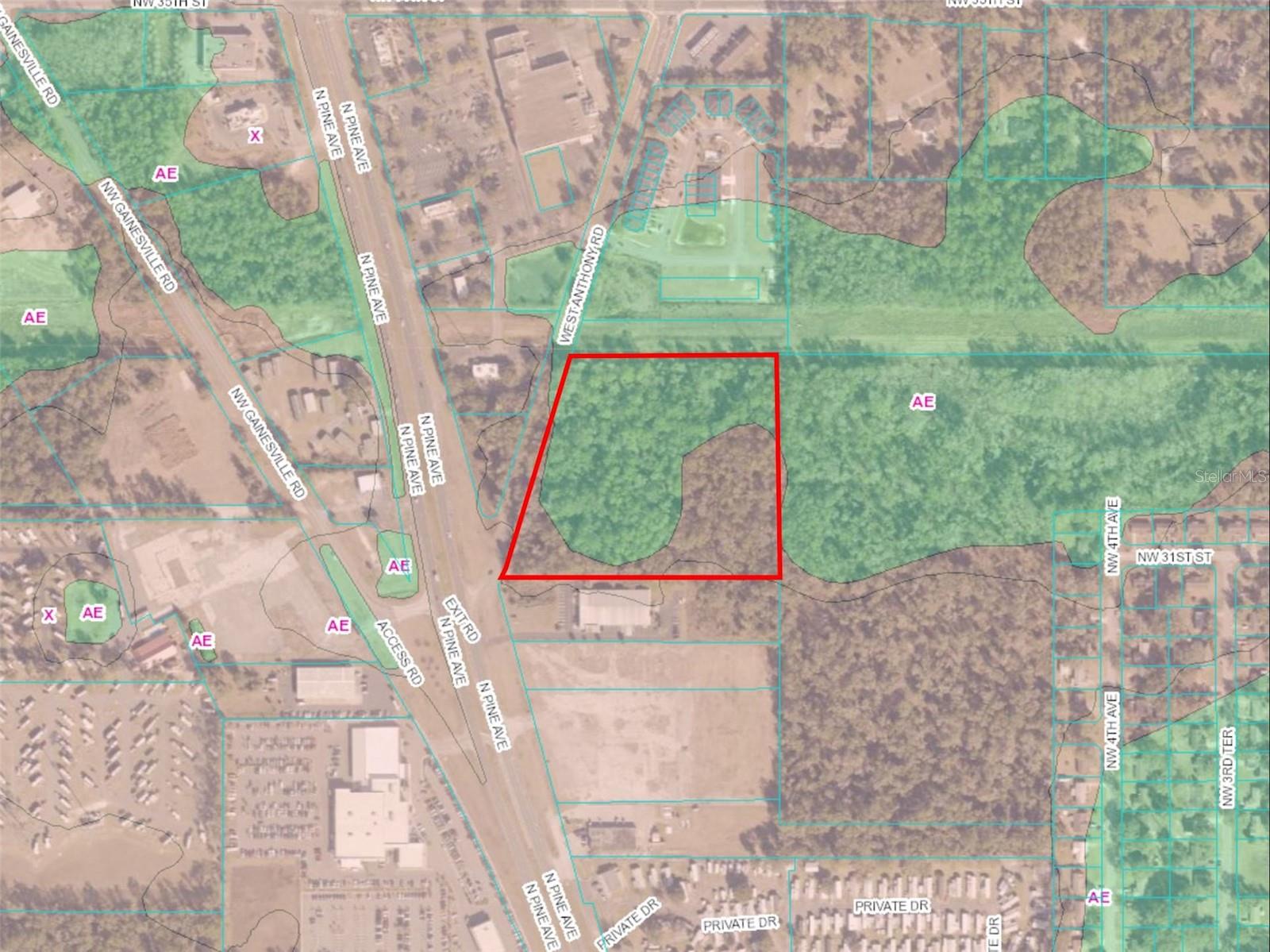
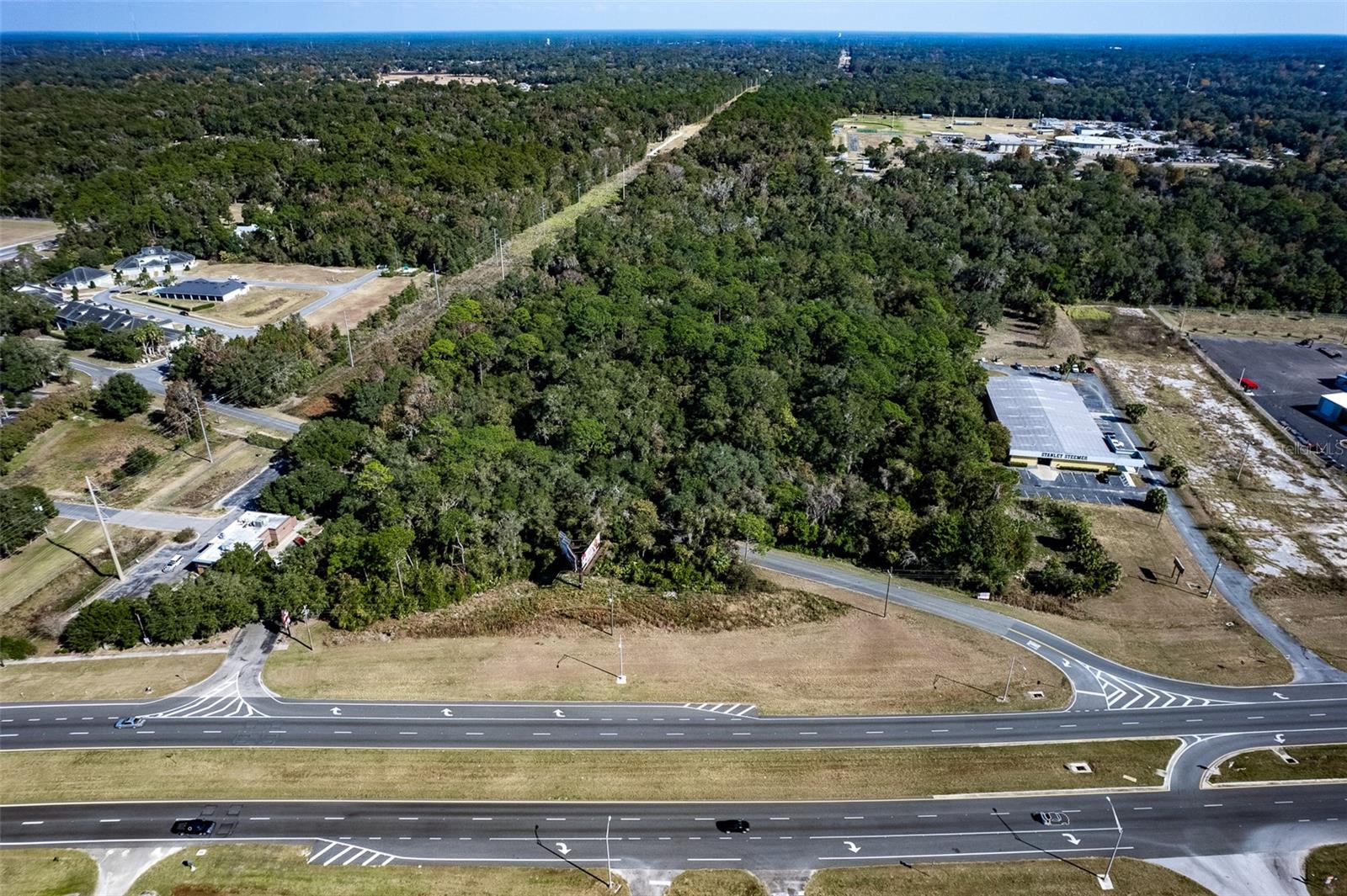
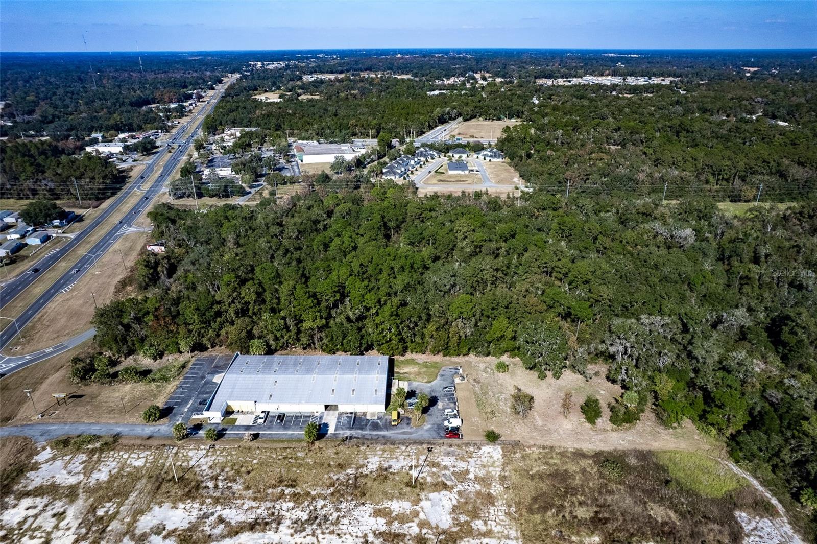
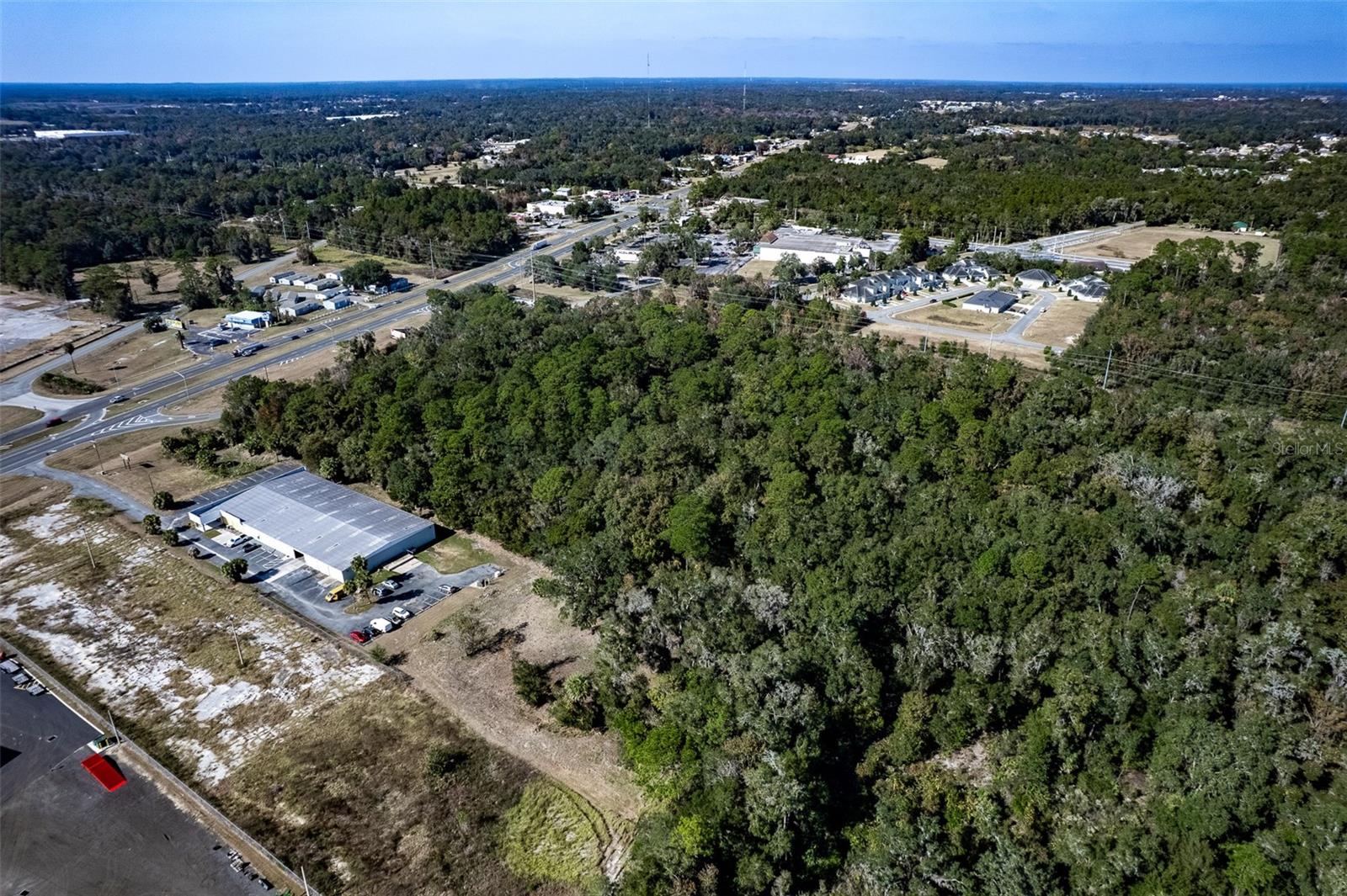
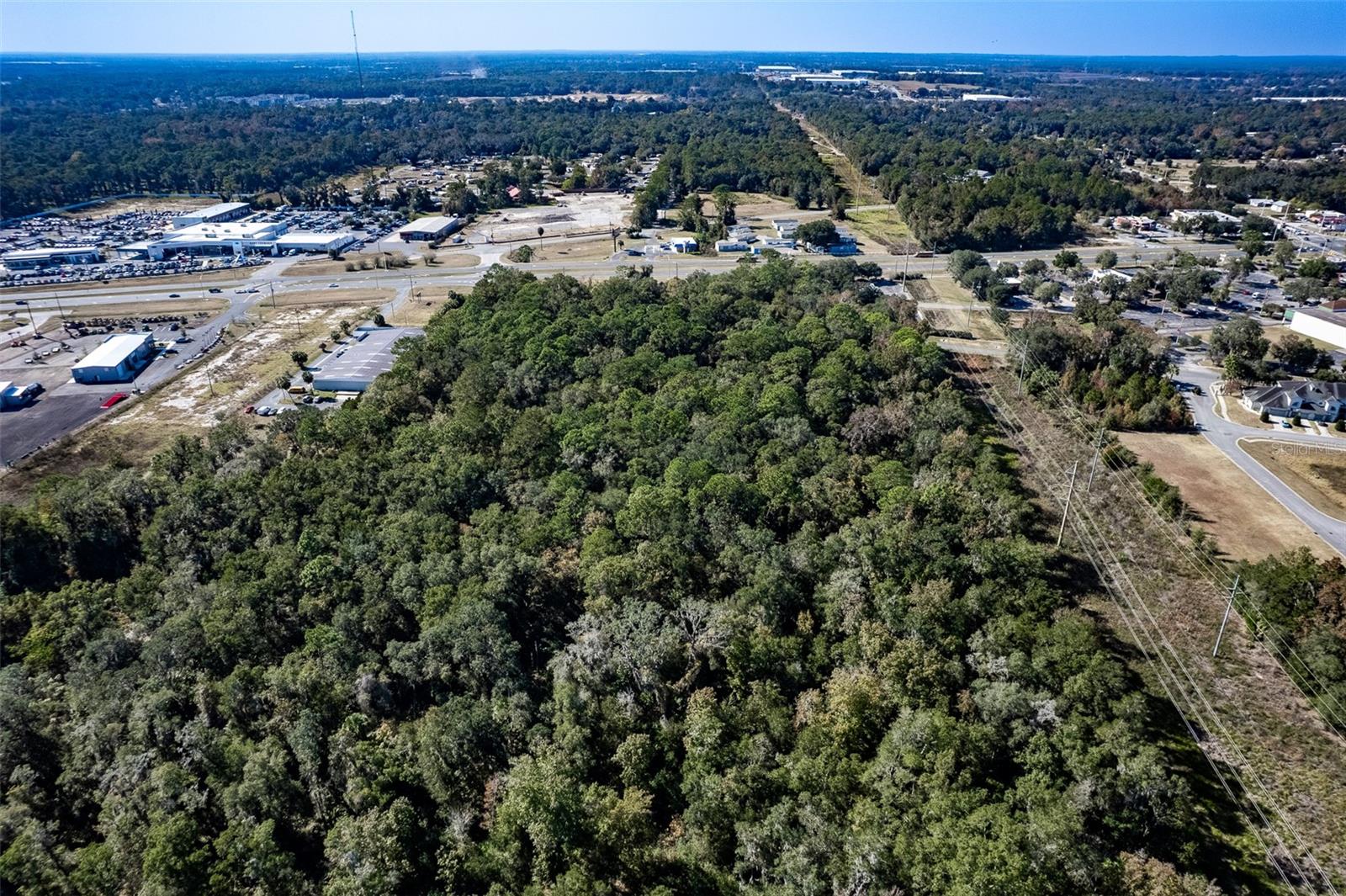
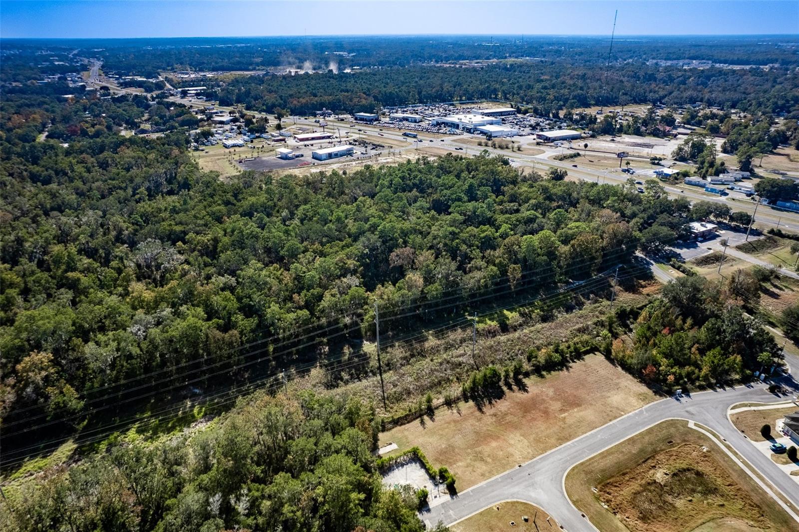
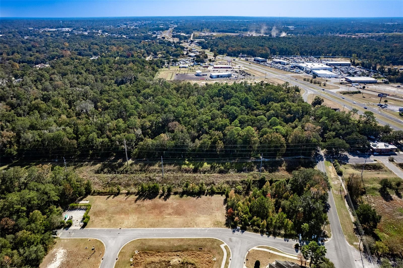
    Ideal site for your business. Multi family potential with current land use for 18 units per acre. ~675 feet frontage on W Anthony Road with 441 Visibility. This property is located 1.5 miles North of Ocala Downtown. Ocala was named the 5th fastest growing city in 2020 by US News & World Report and the county has approved over 53,000 housing units in the last 5 years. Growth is expected to continue increasing. Zoned B4 Commercial which allows for a large variety of uses. This property has land use for 18 units per acre multifamily and fronts on W Anthony Road at the split of US HWY 441. Also available is ~31 adjacent acres to to the East MLS#OM652944. This property is located on major thoroughfare US HWY 441 via the signalized intersection on NW 28th St and 441. Immediately nearby amenities include Walgreens, CVS, Harveys Supermarket, McDonalds, Dunkin Donuts, Wendys, Burger King, Taco Bell, Subway, Circle K, Family Dollar, Take 5 Oil Change, and Vanguard Highschool. Inquire today!
Property Features
Home Owners Association Fee
  1. 0.00
Carport Spaces
  1. 0.00
Close Date
  1. 0000-00-00
Country
  1. US
Covered Spaces
  1. 0.00
Current Use
  1. Unimproved
Garage Spaces
  1. 0.00
High School
  1. Vanguard High School
Insurance Expense
  1. 0.00
Legal Description
  1. SEC 06 TWP 15 RGE 22 COM SE COR OF SW 1/4 OF NE 1/4 N 423.35 FT FOR POB TH W 784.51 FT TH N TO S R/W NW 35TH ST TH E TO W LINE OF E 1/2 OF E 1/2 OF NE 1/4 S TO NW COR OF E 1/2 OF SE 1/4 OF NE 1/4 TH W 670 FT S TO POB & COM SE COR OF SW 1/4 OF NE 1/4 TH N 423.35 FT TH W 784.51 FT TH N 715.75 FT FOR POB TH N TO S R/W FL POWER EASEMENT W TO SELY R/W WEST ANTHONY RD TH SWLY TO PT W OF POB TH E 831.22 FT TO POB TRACT B SUBJECT TO AN EASEMENT FOR THE 230KV TRANSMISSION SYSTEM DESC AS COM SE COR OF SW 1/4 OF NE 1/4 N 00- 15-11 E 423.35 FT N 89-59-00 W 784.51 FT N 00-05-14 E 716.20 FT S 89-59-08 W 828.23 FT TO S LY ROW W ANTHONY RD N 17-28-44 E 673.13 FT TO POB N 17-28-44 E 53.30 FT TO S LY ROW LINE FLORIDA POWER CORP. ROW S 89-33-37 E 2068.97 FT
Living Area
  1. 0.00
Lot Features
  1. City Limits
Middle School
  1. Howard Middle School
Area Major
  1. 34475 - Ocala
Net Operating Income
  1. 0.00
Open Parking Spaces
  1. 0.00
Other Expense
  1. 0.00
Parcel Number
  1. 25226-006-01
Property Type
  1. Land
Road Frontage Type
  1. County Road
  2. Highway
  3. Main Throrughfare
School Elementary
  1. South Ocala Elementary School
Sewer
  1. Public Sewer
Tax Year
  1. 2023
Township
  1. 15S
Utilities
  1. BB/HS Internet Available
  2. Cable Available
  3. Electricity Available
  4. Fire Hydrant
  5. Public
  6. Sewer Available
  7. Sewer Connected
  8. Sewer Nearby
  9. Utility Pole
  10. Water Available
  11. Water Connected
  12. Water Nearby
Views
  1. 109
Virtual Tour Url
  1. https://www.propertypanorama.com/instaview/stellar/OM653889
Water Source
  1. Public
Zoning Code
  1. B4
Request More Information
  • All fields are required.
Contact Cathlene McDonald
Contacting Cathlene McDonald
  • All fields are required.
Schedule A Showing
Schedule a Showing.
  • All fields are required.
Check this box to Register with us:
Request more information
Tropic Shores Realty - Crystal River
XML Sitemap